Skip to content
en
et
Accessibility
Home
People
Projects
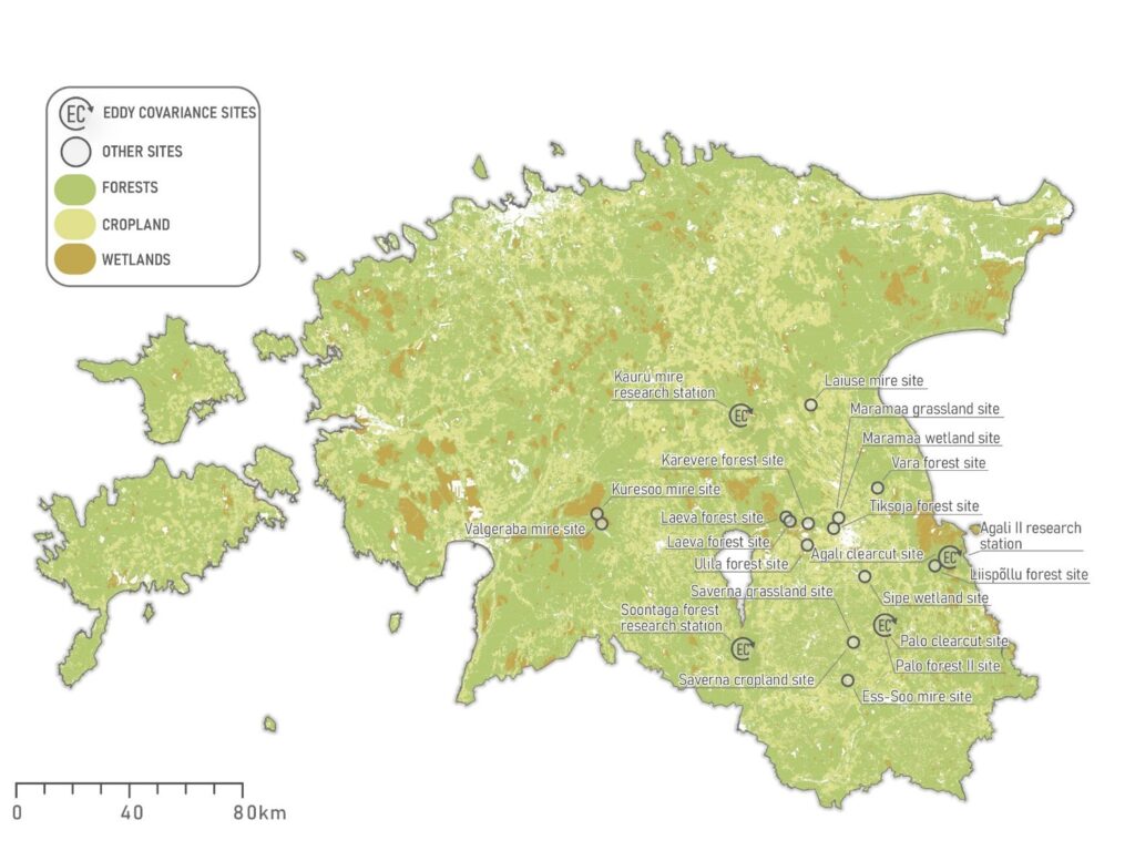
Study Sites
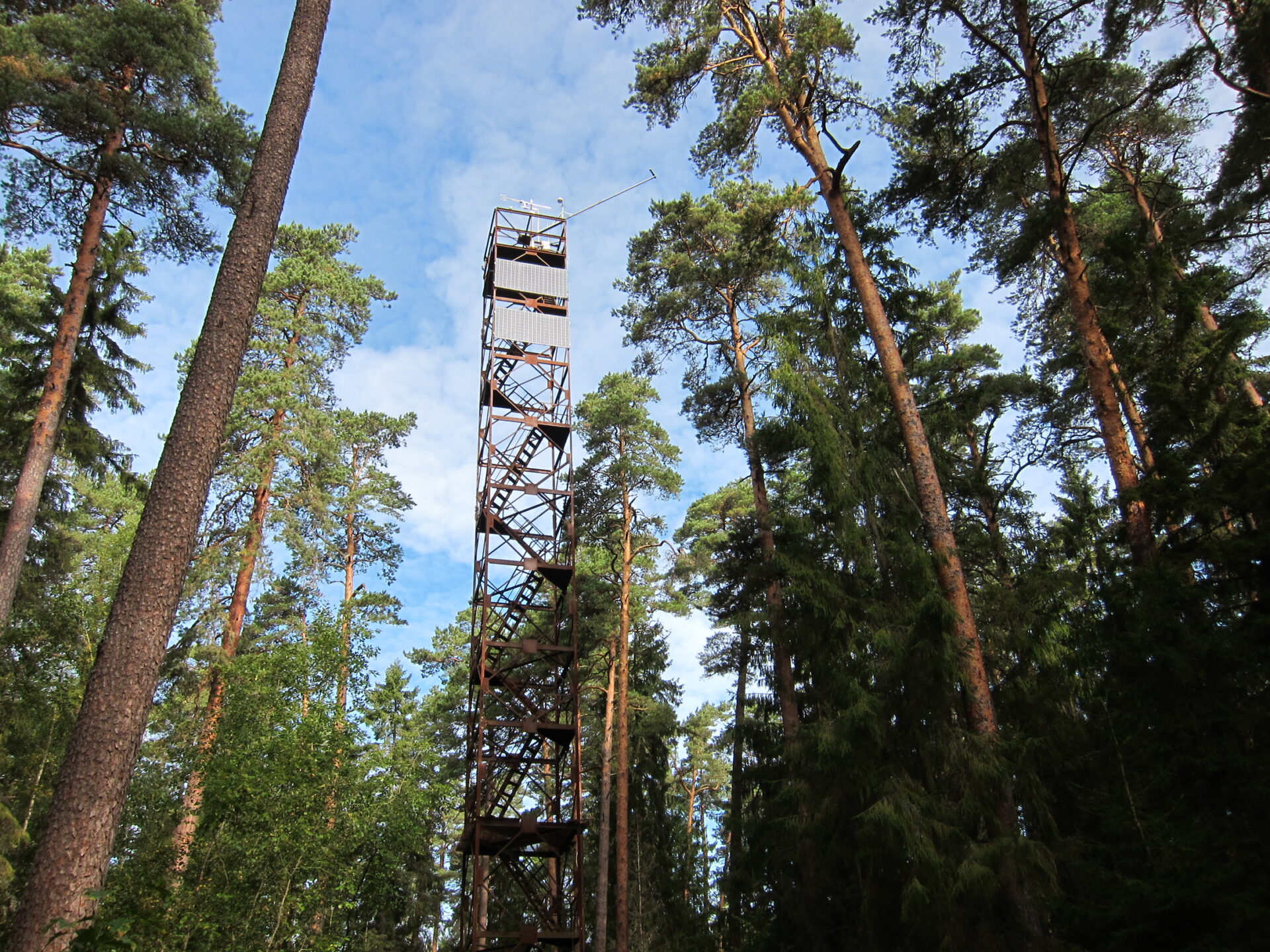
Kauru site
Soontaga site
Laiuse site
Kuresoo site
Agali II site
Publications
2026
2025
2024
2023
2022
2021
2020
2019
2018
2017
2016
2015
2014
…-2013
Teaching
Open Positions
Data
Contact
Search content
Accessibility
Search content
Open menu
Close menu
en
et
Mobile main menu
Home
People
Projects
Study Sites
Kauru site
Soontaga site
Laiuse site
Kuresoo site
Agali II site
Publications
2026
2025
2024
2023
2022
2021
2020
2019
2018
2017
2016
2015
2014
…-2013
Teaching
Open Positions
Data
Contact
Close
Search
Search for:
Search
Biometeorology Lab
Study Sites
Kauru site
Soontaga site
Laiuse site
Kuresoo site
Agali II site
We use cookies to ensure a better user experience. Read more about the Terms of Use conditions.
Terms of Use
Accept
No thanks